Industrial Services
What We
Deliver
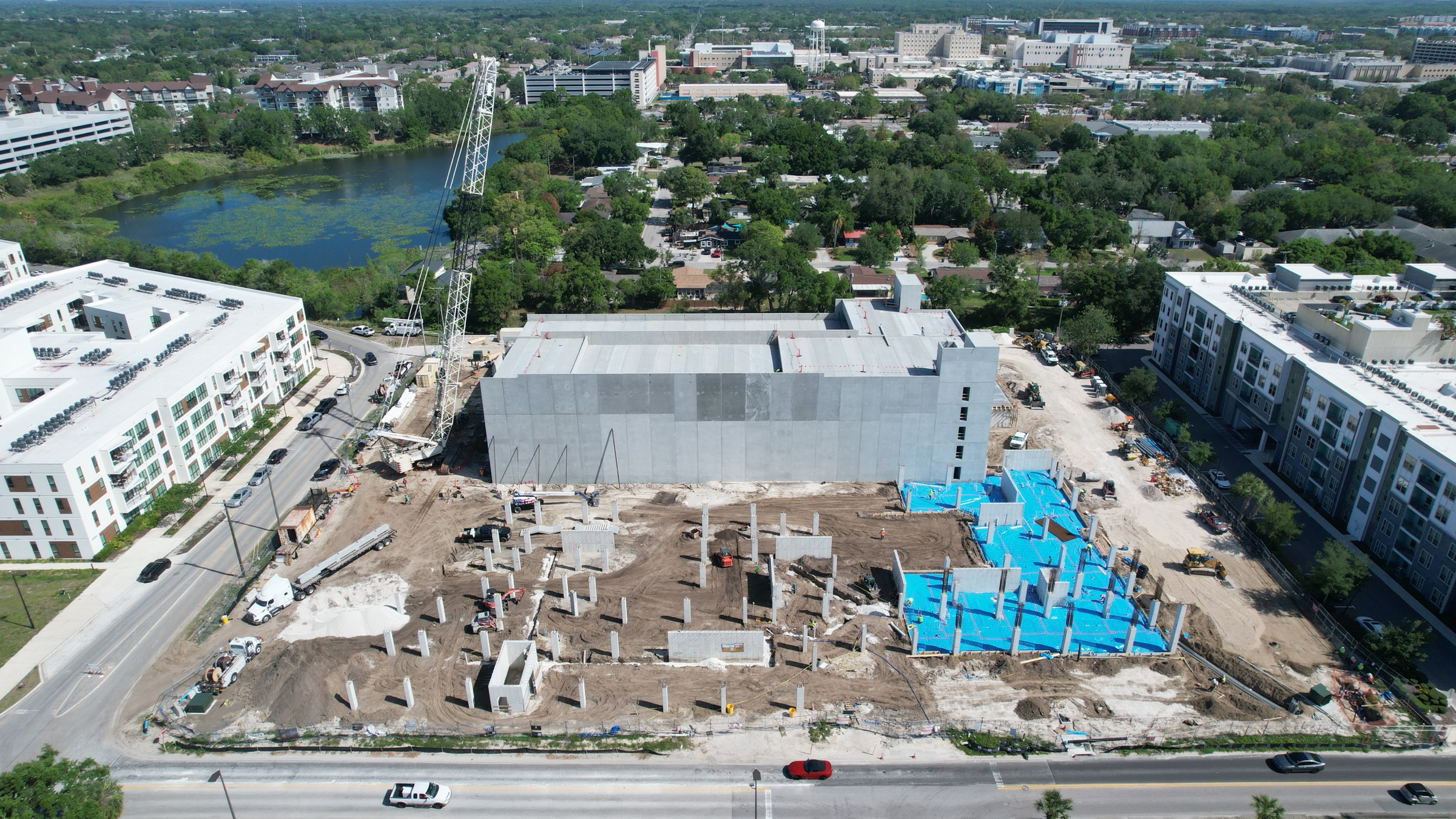
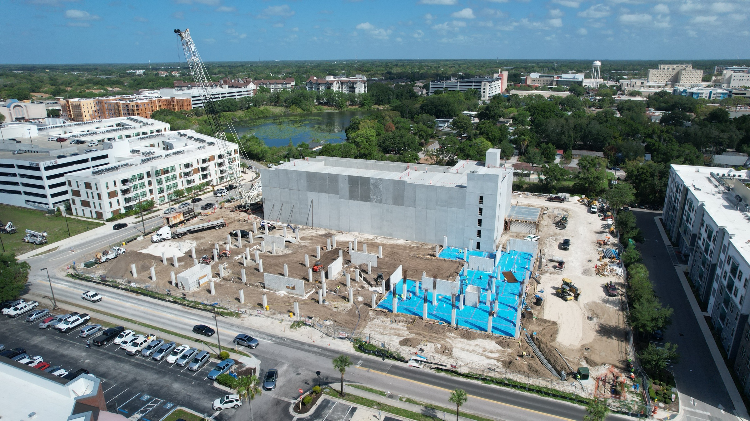
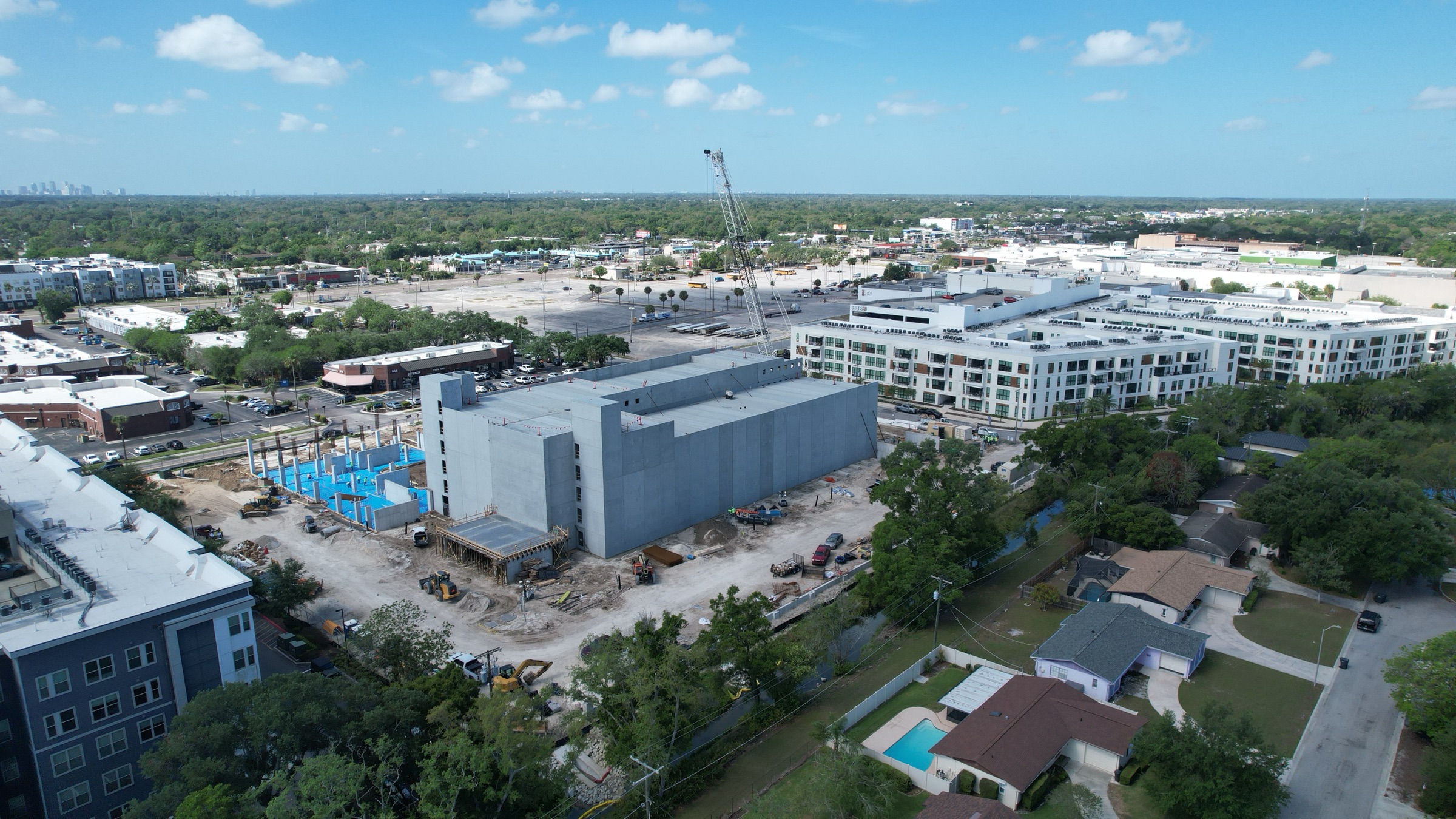
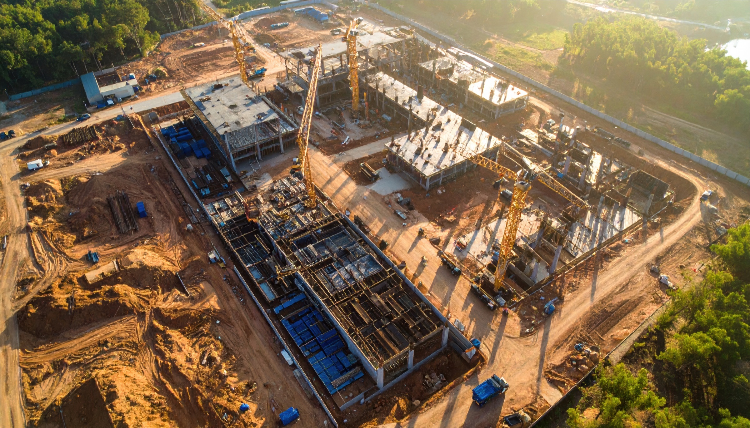
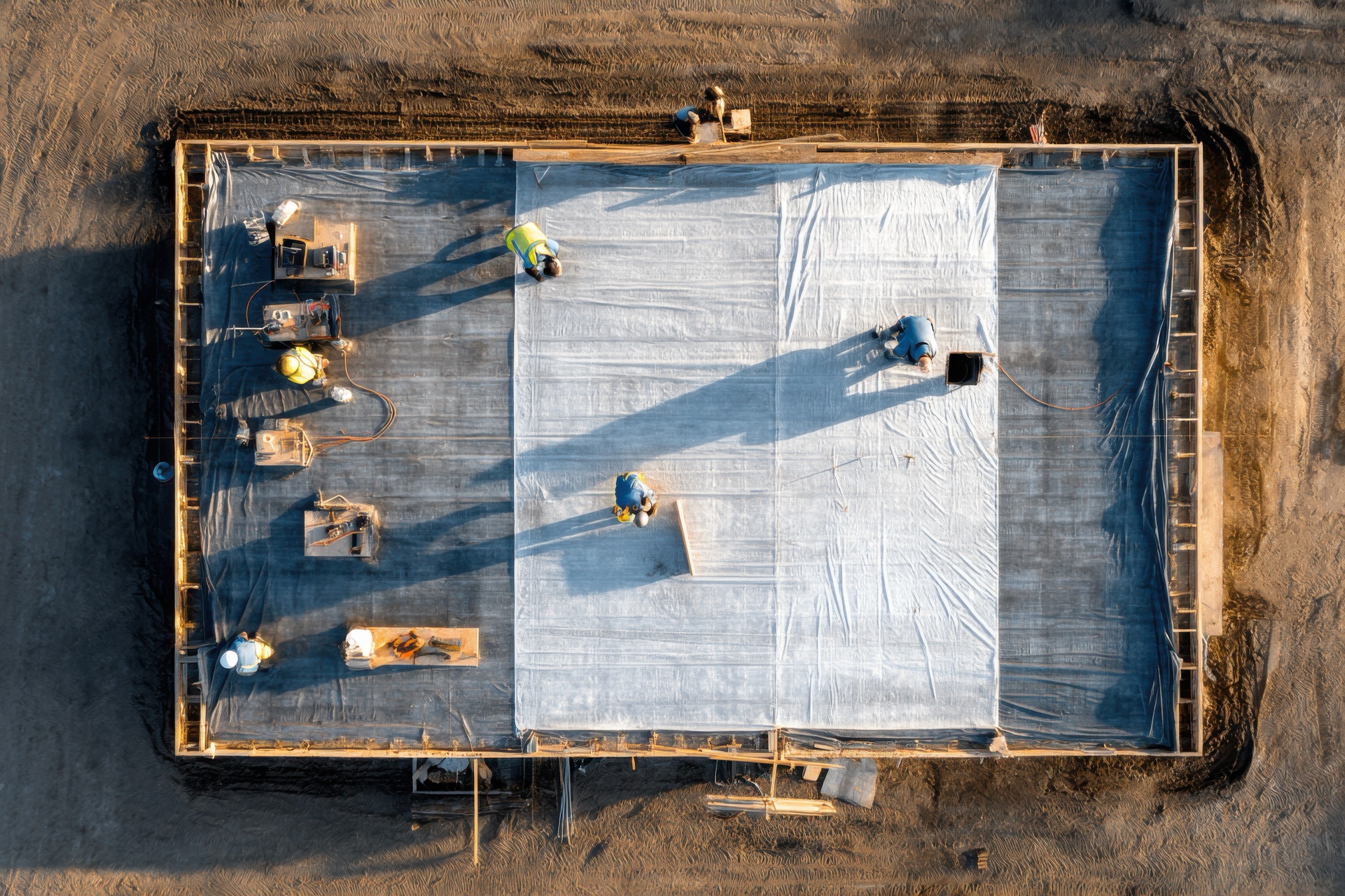
01 Progress Documentation
Site Progress Documentation
Timeline ViewerJan · 8%
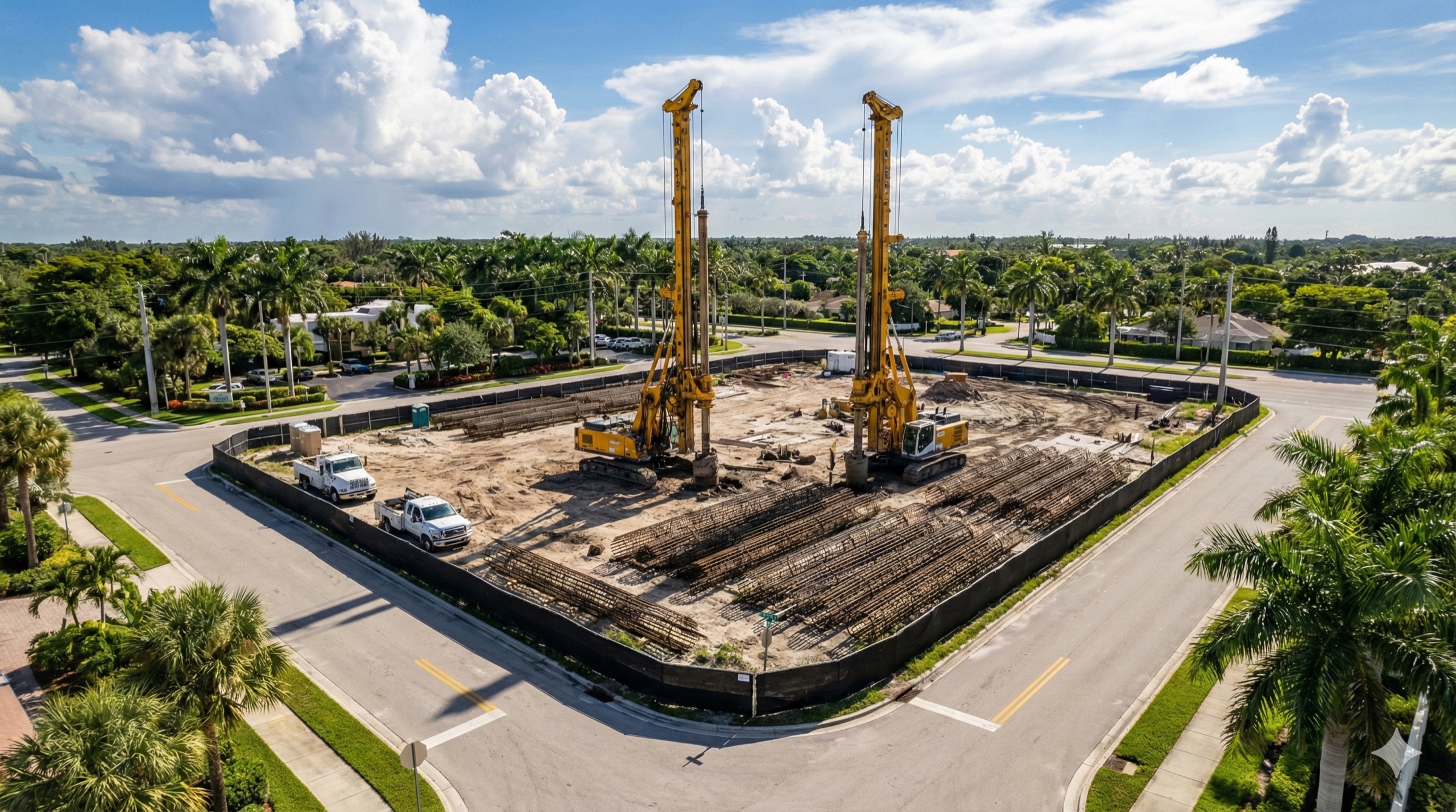
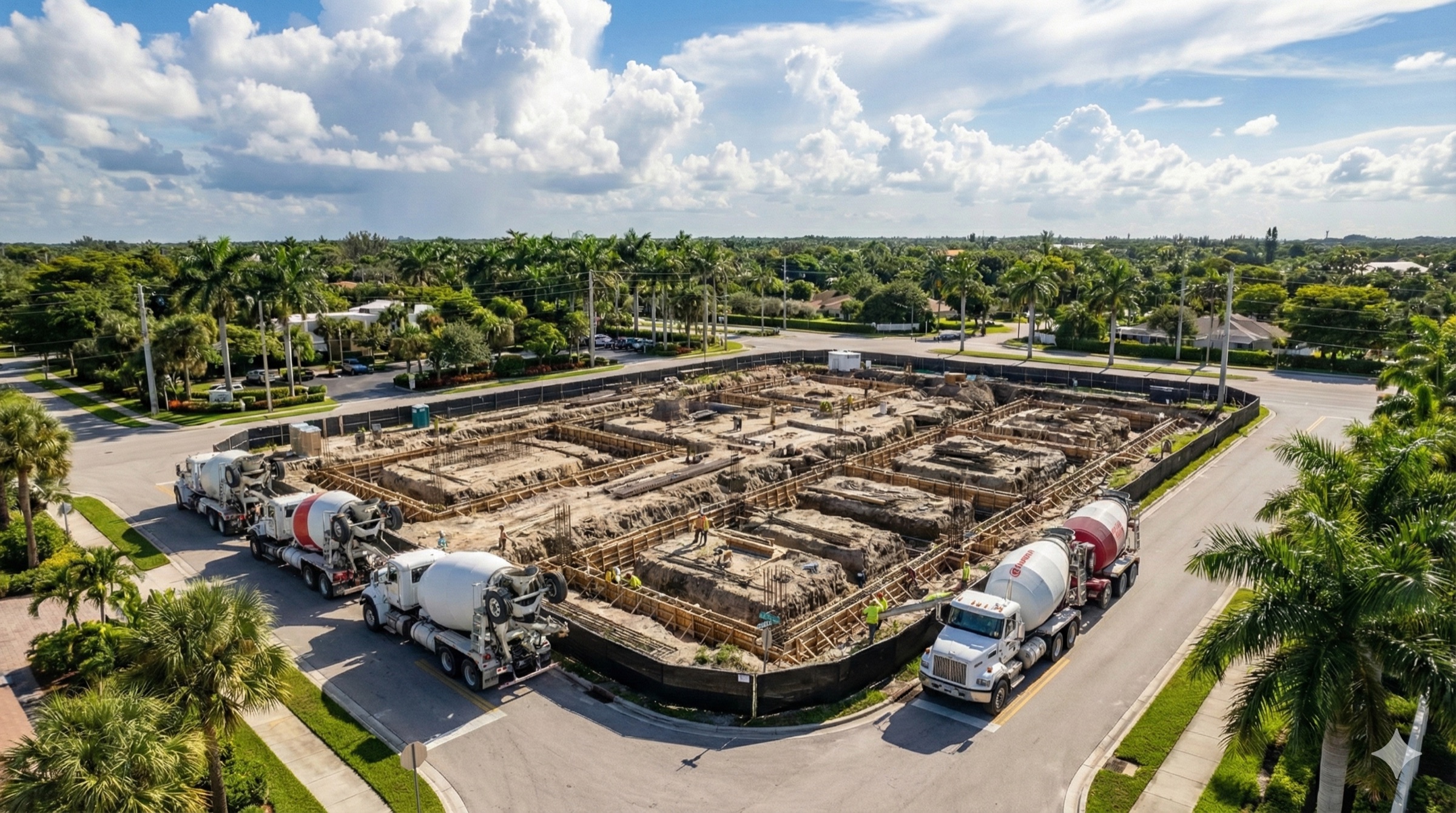
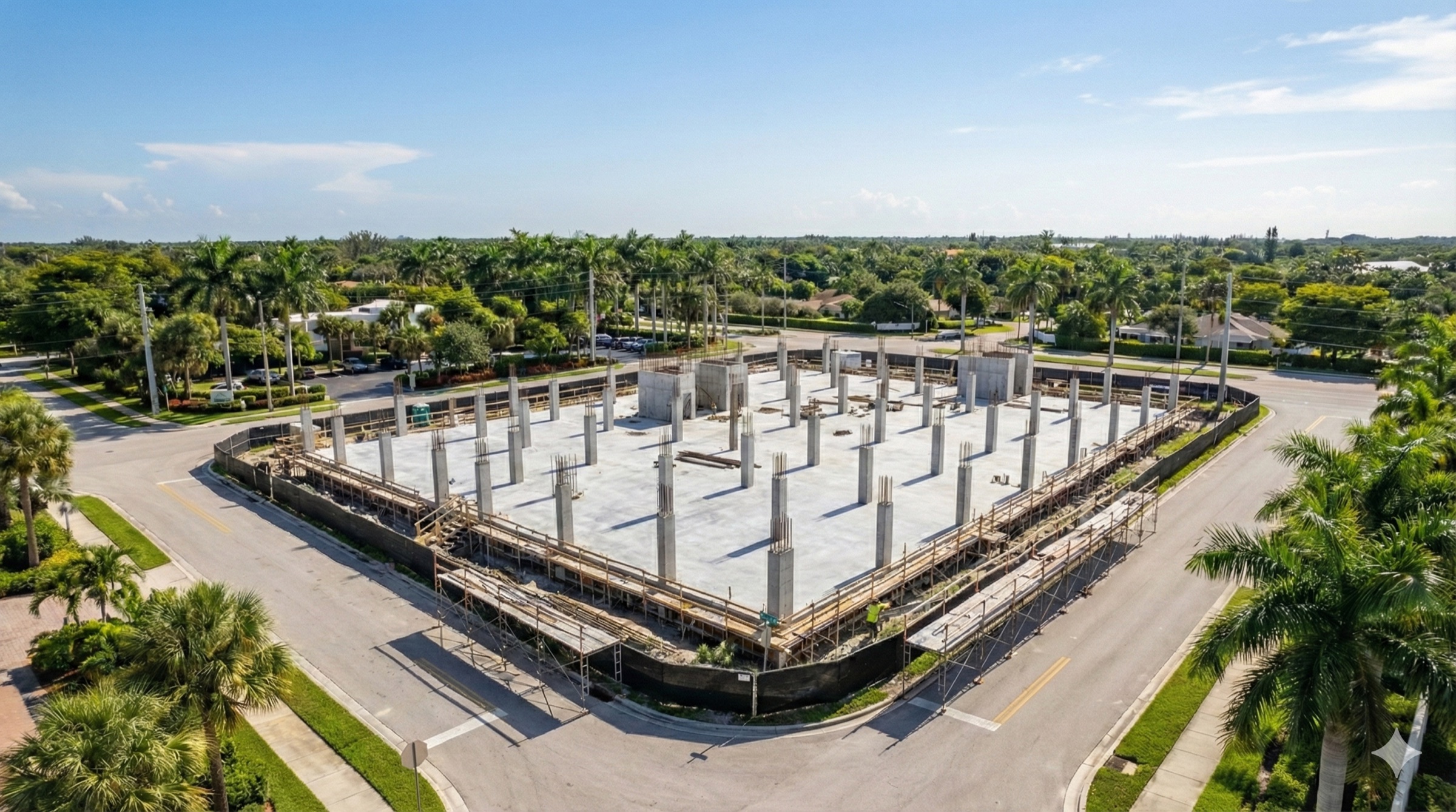
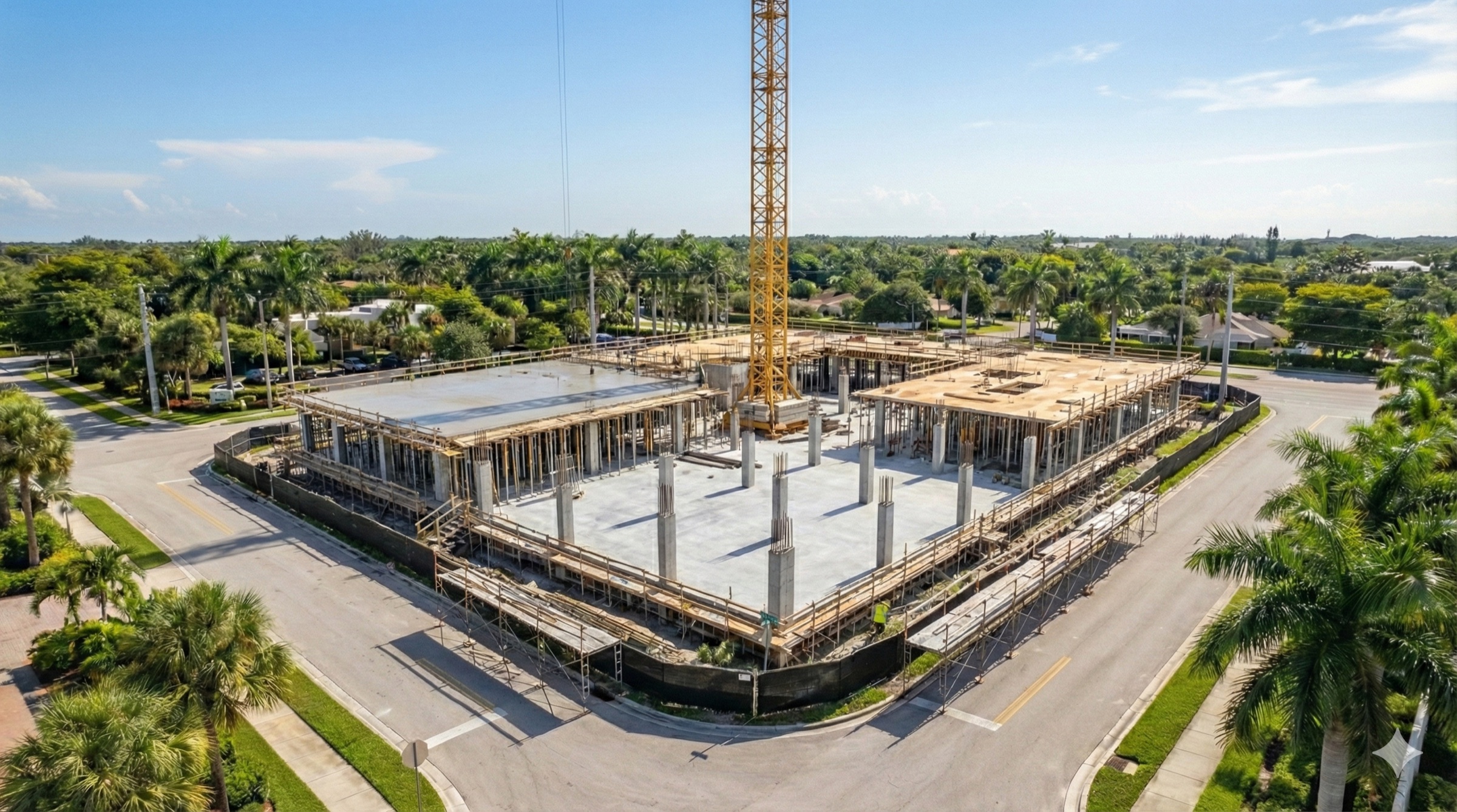
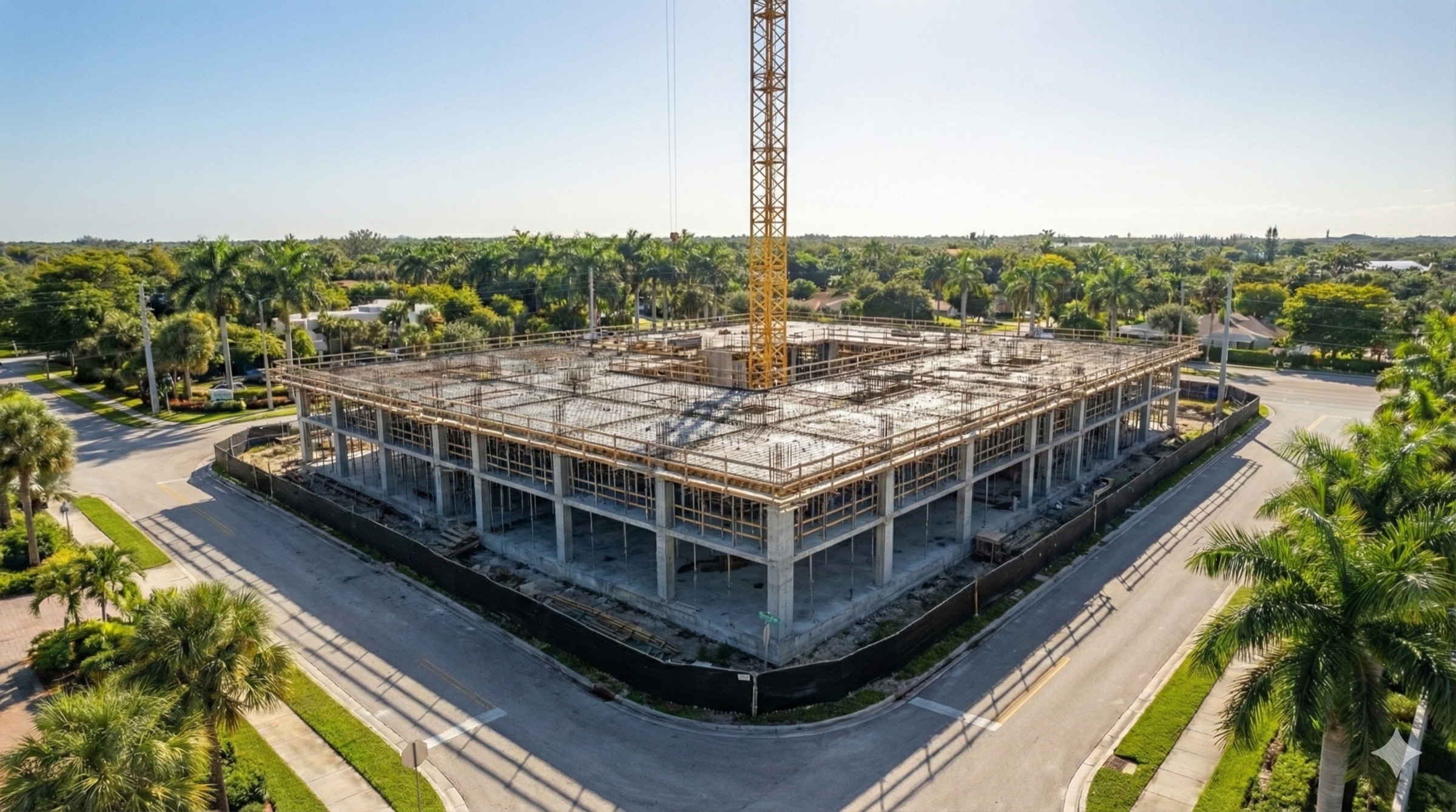
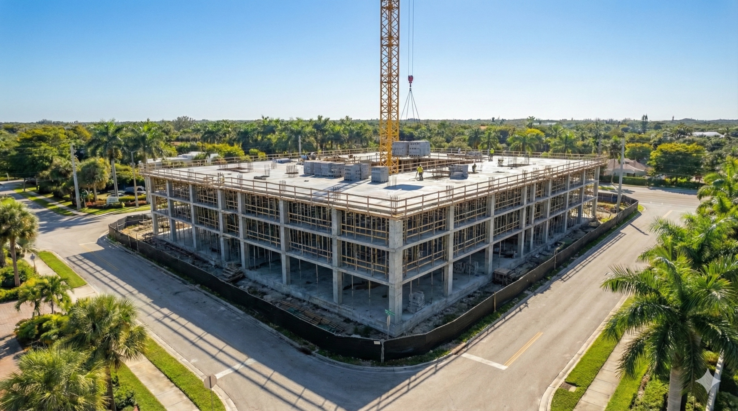
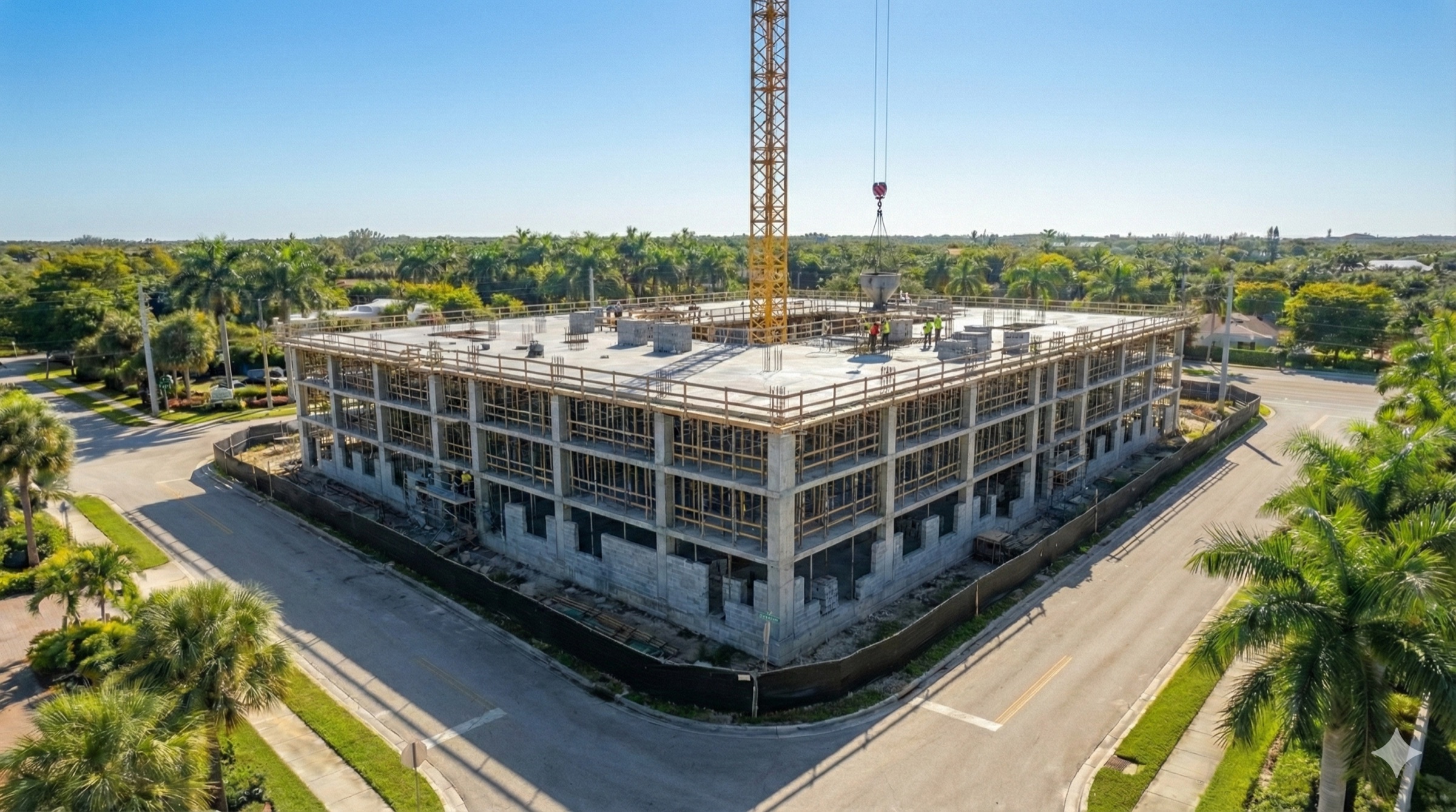
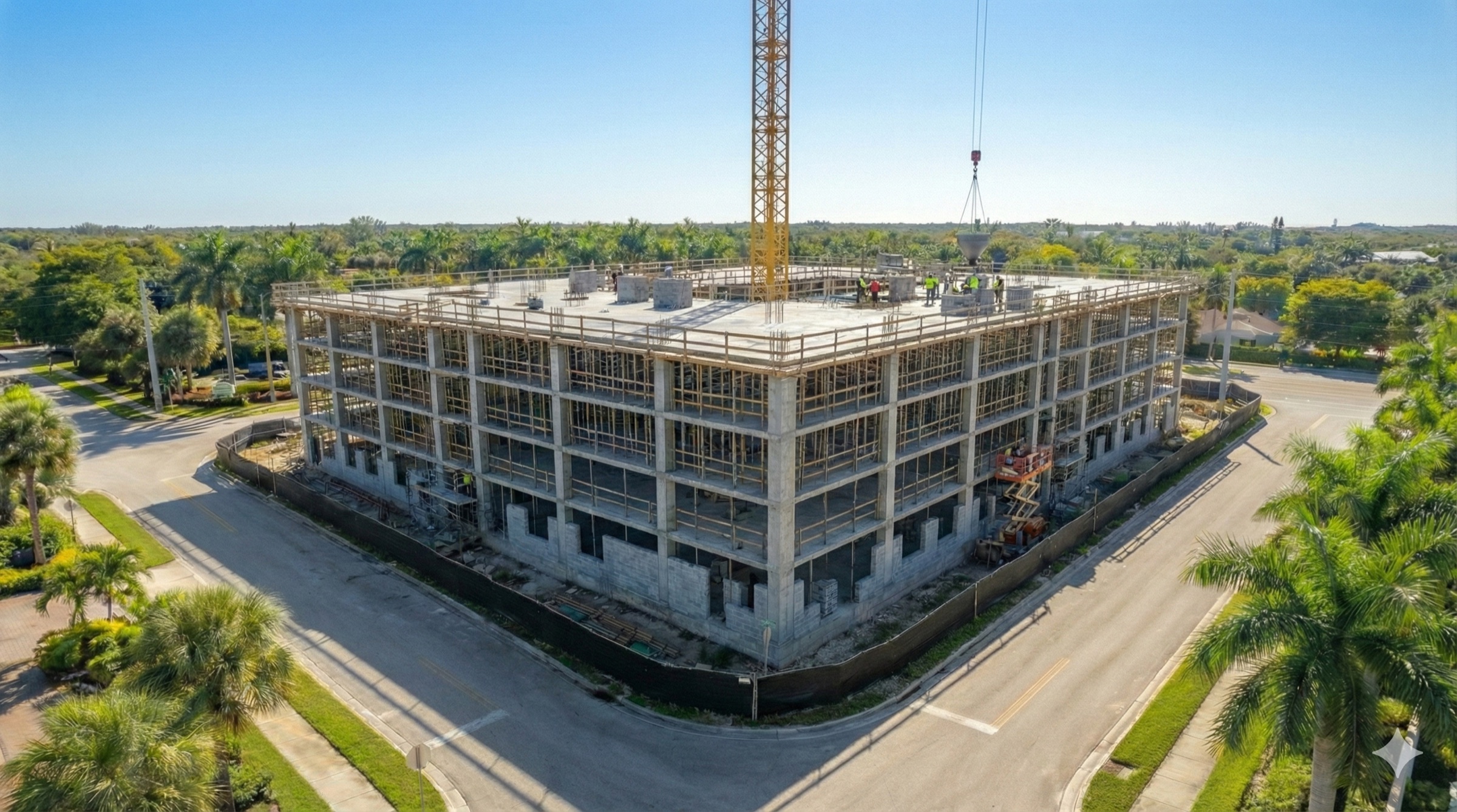
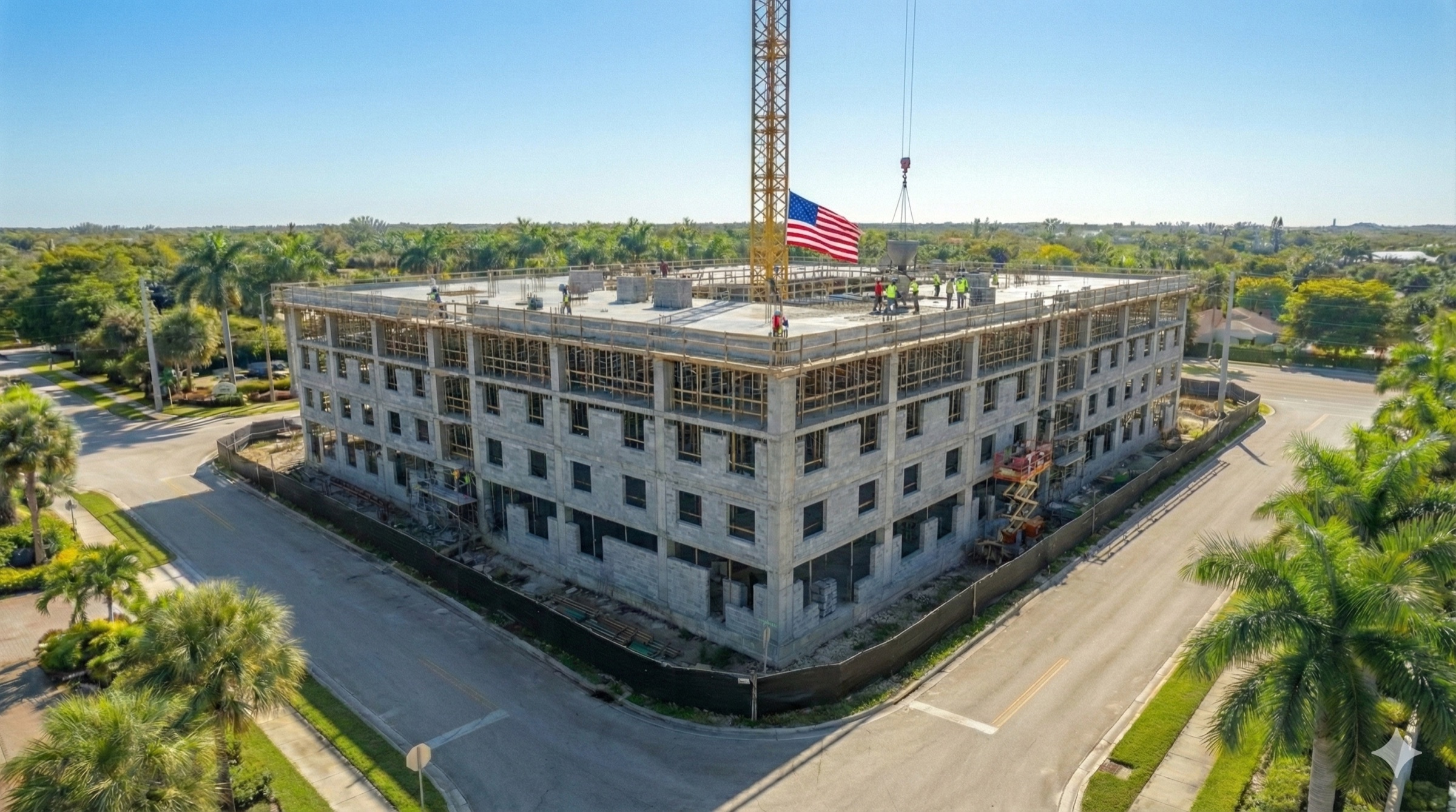
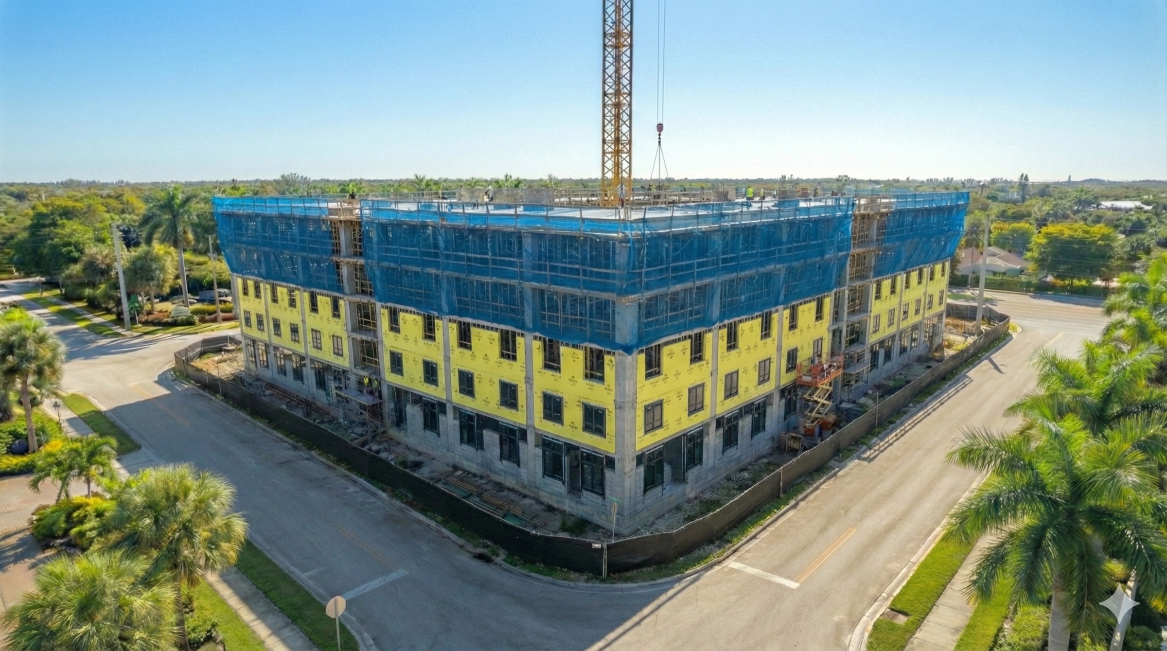
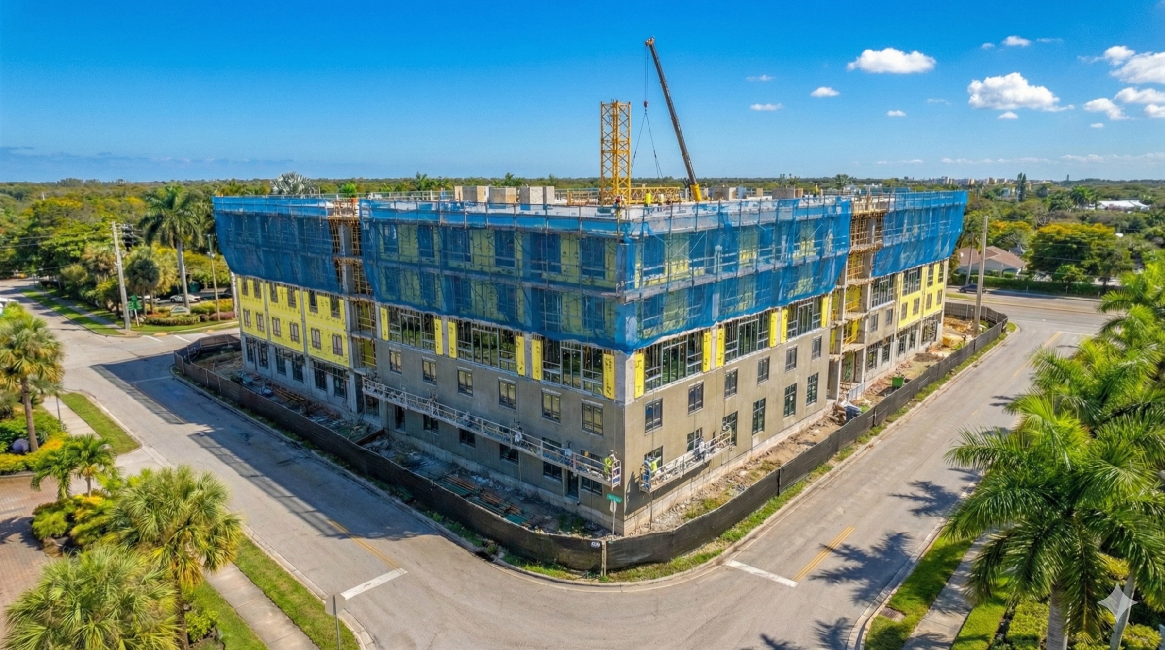

Jan
02 Orthomosaic Mapping
3D Orthomosaic Mapping
3D Orthomosaic Viewer
Standby
Live 3D Digital Twin · Click to Initialize
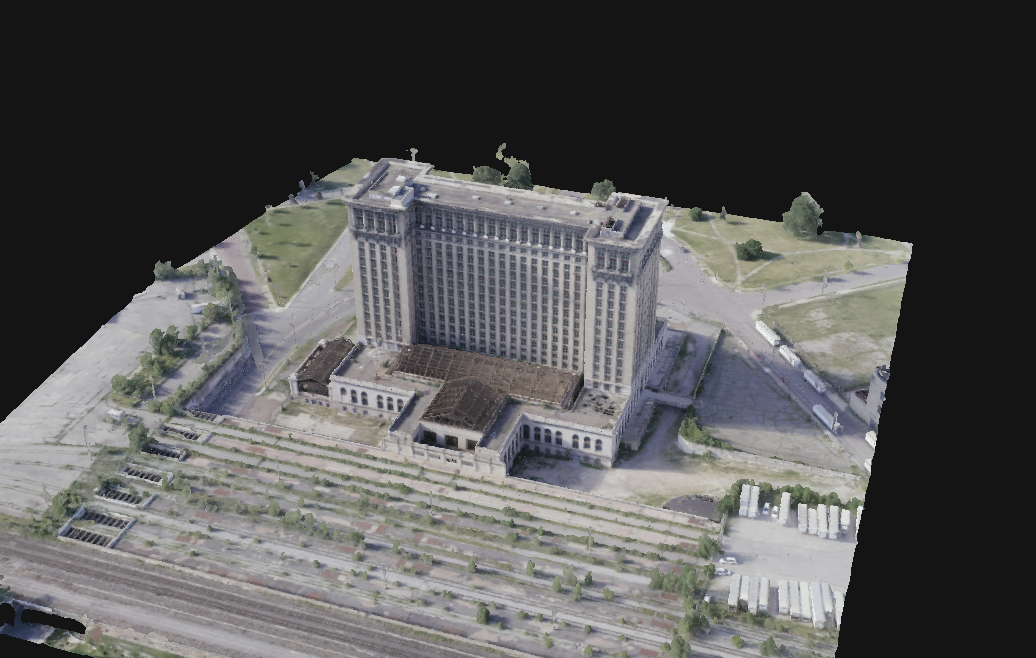
Model Specs
- Model TypeTextured 3D Mesh (.obj)
- Data Density2.4M Polygons
- Relative Accuracy< 3cm GSD
- CompatibilityBIM / CAD / Revit Ready
Standby
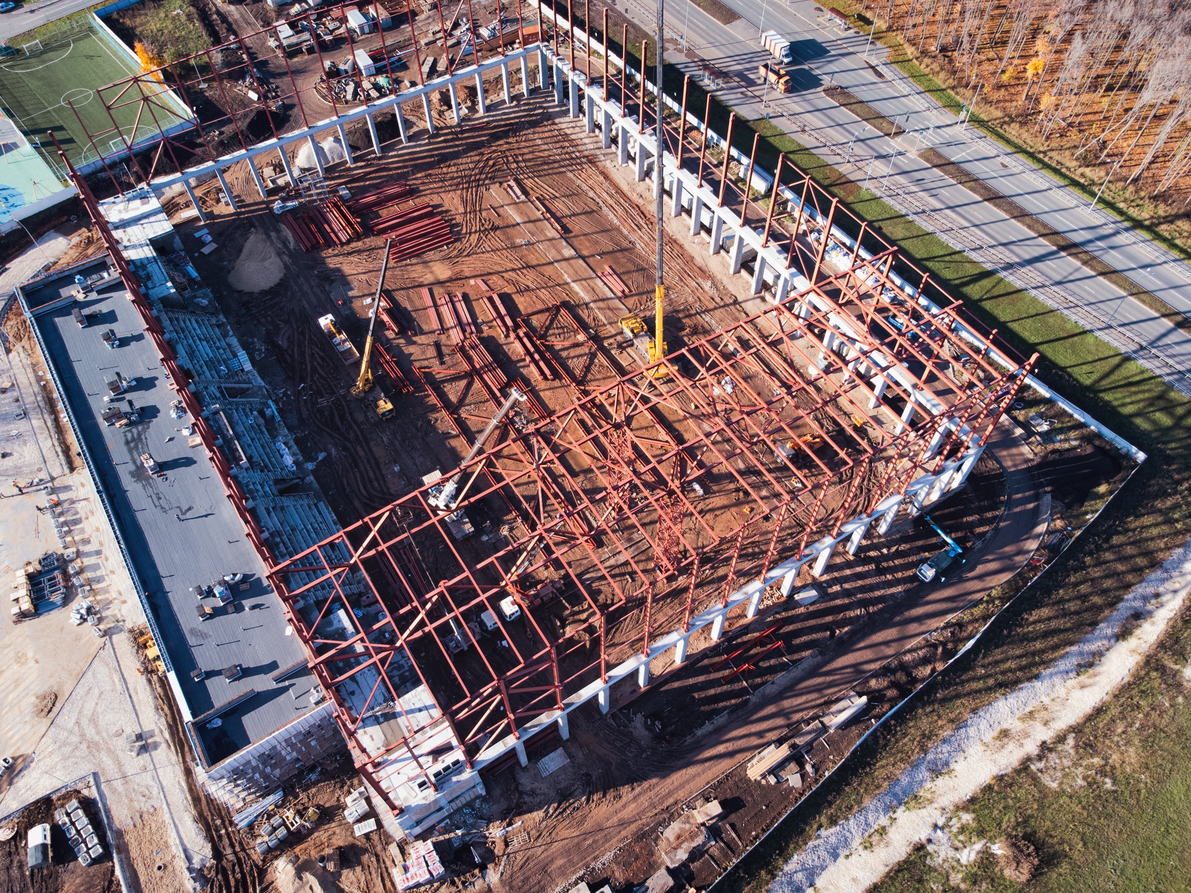
03 2D Site Mapping
2D Aerial Site Maps
2D Map Viewer
Standby
High-Precision Orthomosaic · Click to Initialize
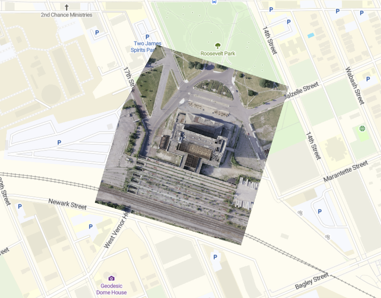
Map Specs
- Ortho-RectifiedTerrain & lens distortion corrected
- Linear PrecisionScale-accurate boundary measurements
- Visual GSD1.5 cm/pixel (Survey-Grade)
- IntegrationAutoCAD / Revit / Civil 3D Export
Standby
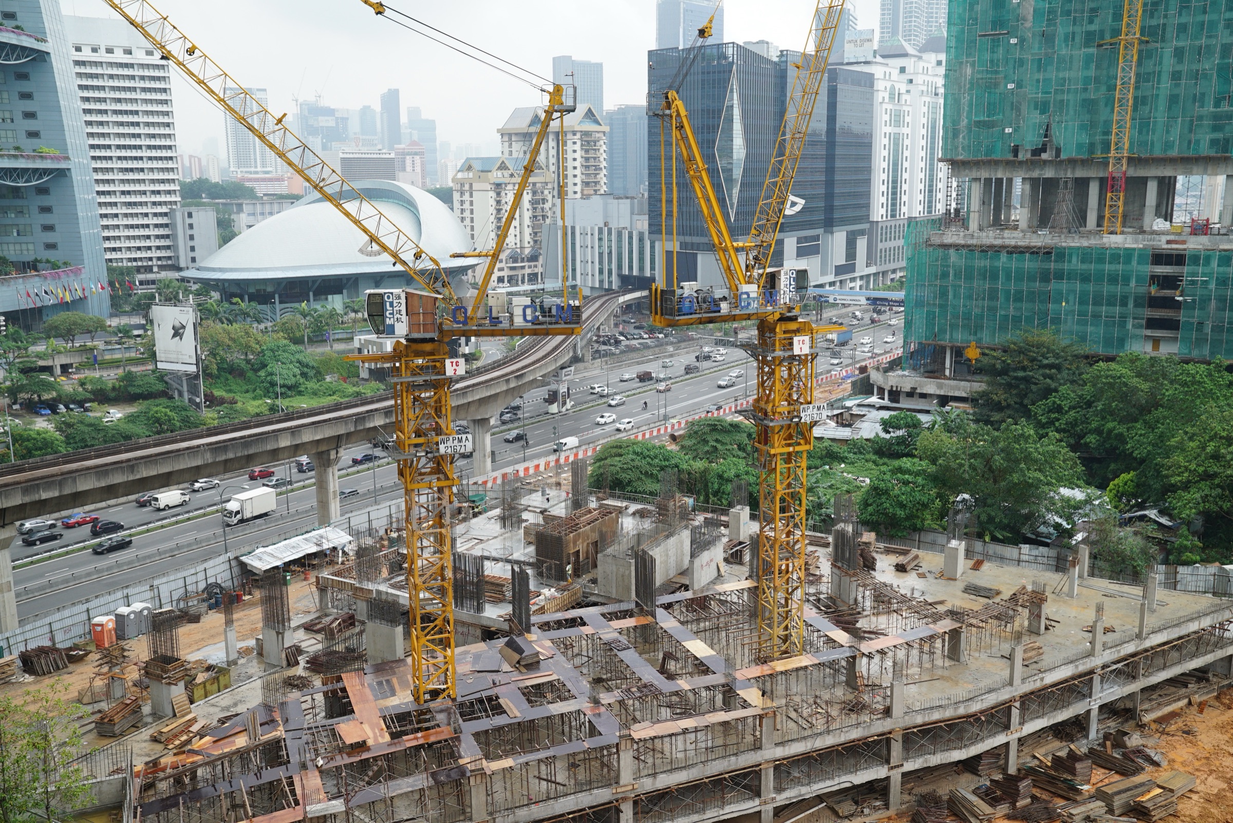
04 Aerial Inspection
Aerial Inspection

01 / 08